A couple days ago, my childhood friend Devin invited me to through-hike the Narrows. He is an expert dentist and canyoneer, and he finally drew the coveted permit for the 16 mile hike. His brother pulled out last minute, and he had three available spots on the permit. Between the lawsuit and three summer research campaigns, my instinct was to decline. But as we talked, Devin mentioned offhand that there had been cyanobacterial blooms in the Virgin River (coverage here). That is the main river that carved the system of canyons that make up the Narrows. You don’t have to mention harmful algal blooms twice to get me on excited, so I immediately started preparing. My daughter Ingrid volunteered to be a field assistant, and another high-school friend Jason agreed to come along as well.

We needed two cars for the shuttle, so we split into two teams. Ingrid and I took Highway 89 down, so we could charge the Chevy Bolt in Richfield (best free level 3 charger in the state IMO). However, we neglected to account for traffic on the east side of the park and ended up almost two hours late! Devin and Jason picked up the permit and found a friendly RV park that agreed to let them leave the car. Because we had just applied GM's software update to the Bolt, which limited charging to 80%, we arrived with only 60 miles of range. Thankfully, the Best Western in Springdale let us charge for an hour while we ate lunch.
The drive to the
Narrows Upper Trailhead is a spectacular ascent from the deep sandstone canyon to the high pine mesa. We left the Bolt in the dusty parking lot with 40 miles of range left.
For some shots, it pays to be short. We hit the trail around 2pm.
The hike starts on a mild double-track across the mesa.
There was a lot of modification of the river channel going on, with new diversions, leaky pipes, and heavy equipment.
Many of the Ponderosa showed fire scars. A natural fire regime is crucial for the persistence of these ecological communities.
A few miles in, the canyon narrows and starts to descend into a multi-level forest wonderland. From here on out, the river was our trail.
Just before crossing into the official national park, someone had bolted this land-sale sign onto the canyon wall. It made me wonder if anyone had proposed to build and sell islands in the canyon to solve the river's algal bloom problems...
I was taking water chemistry measurements every half-mile or so. The multiprobe measures temperature, atmospheric pressure, dissolved oxygen, conductivity, pH, oxidation-reduction potential, and the concentrations of chlorophyl and phycocyanin (indicators of algal and cyanobacterial activity, respectively).
My companions were patient with me.
The texture and sound of the water were immersive.
When you're a teenager, apparently, it's still super cool to hang out with three dads.
With our heads down to find our footing, deepening of the canyon caught us by surprise.
Ingrid had been struggling with a bone spur in her left knee, but between the ski poles and the relatively gradual gradient, she hardly complained.
Waiting for the probe to equilibrate.
The lighting got diffuse as we got closer to Campsite 1, where our permit required us to stop for the night.
We hadn't see a soul since leaving the car, which made the canyon seem even wilder and more immense.
Zoomed out view of the last pic for scale. I'm not a geomorphologist, but let's just say that the canyon was deep.
Devin carried a tarp big enough for all of us. I carried the stove, but it ended up malfunctioning, and we had to heat up our water from the flame spewing from the fuel line. You might start seeing a pattern: my life is a mess right now :). The campsite was right at the confluence of the North Fork of the Virgin and Deep Creek.
In the morning, it was still dark and cold in the deep canyon.
The water was 10 degrees colder, so we started our second day with lots of layers on.
Foot and bed gear for the win.
The concentrations of phycocyanin were higher than what we usually see in the Utah Lake watershed, though they were still quite low. The colors of the water, plant, and stone however were saturated and stunning.
Patiently waiting on another measurement.
A relatively recent rock fall created a pretty big pond. We could swum, but we decided to scramble along the edge.
Contemplating whether to descend on foot or on bottom.
The river was only at 39 CFS-well below it's normal springtime level. Even so, the vegetation was lush.
The river grew as we got closer to Big Springs, the upper limit for day hikers.
Because of the cyanobacteria, the Park Service recommends only filling up at springs. Devin had a cool fast filter that filled up our bladders in just a few minutes.
Warming up.
Dragon flies, dippers, suckers, tadpoles, frogs, and strange long worms.
From this point on, there were others in the canyon.
Skirting a deeper pool
By now, the sky was only a sliver hundreds of feet above. The GPS on my sensor had a hard time finding itself.
Ingrid took a couple of spills in this section. The deeper water and smoother stones...
Way to go gimpy knee!
A tree and its man.
Snacking in an alcove. The seeping groundwater and the freeze-melt cycles of the water are just as important as the fluvial erosion of the river.
By now, there were lots of people in the river.
Cute overload.
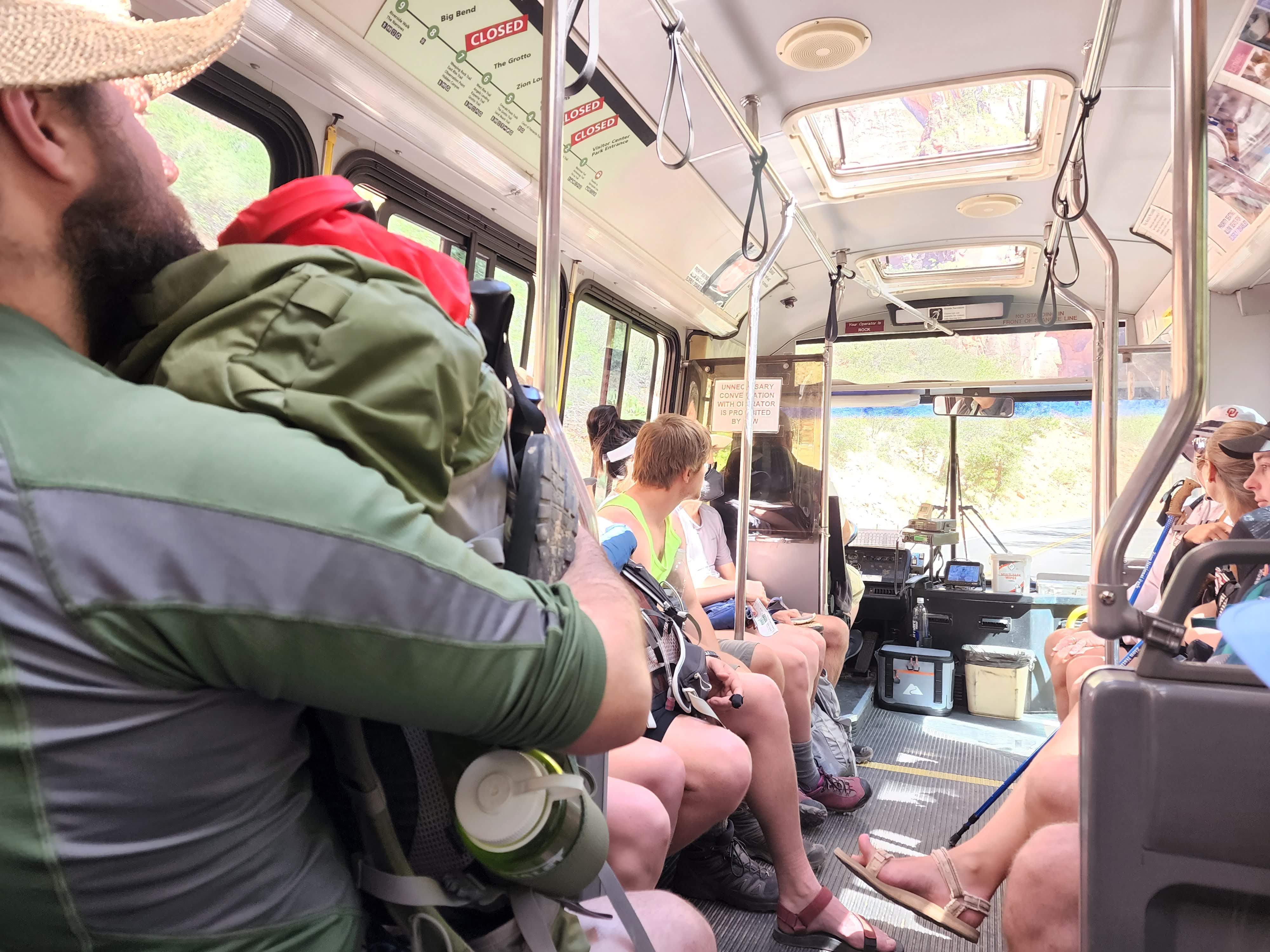
On the shuttle out of the park, strict signs forbid unnecessary conversation. After 16 miles, we were happy to sit for a moment.
Millions of years of history in every escarpment.
Rather than driving back through the park, we decided to take the dirt road to Highway 14. This would let us descend directly into Cedar City, shaving off an hour or two. The road climbed much more than I expected, transitioning into a maple-aspen community.
Just a few miles from the pass, our Bolt ran out of juice. I hadn't accounted for the thousands of feet of vertical and deep sand. I'd never run the car to complete depletion before and wasn't sure how it would behave. We were about to try a pusher-configuration with Devin's car, but thankfully a couple from Nevada pulled by us. They were the only other vehicle we'd seen on our traverse. They had a tow chain and offered to pull us into Cedar City. I initially thought we'd only need a tow to the top of the pass, but because I'd completely depleted the battery, it wouldn't switch into regen mode until charged (see the pattern). I coasted down the canyon, and then Brian reconnected and towed me to a charging station in Cedar.
We offered to pay for their gas and time, but the good Samaritans just told us to pay it forward. Walmart and Electrify America to the rescue!
It was such a blessing to experience this corner of creation, and I'll share the scientific results as soon as I have them entered.